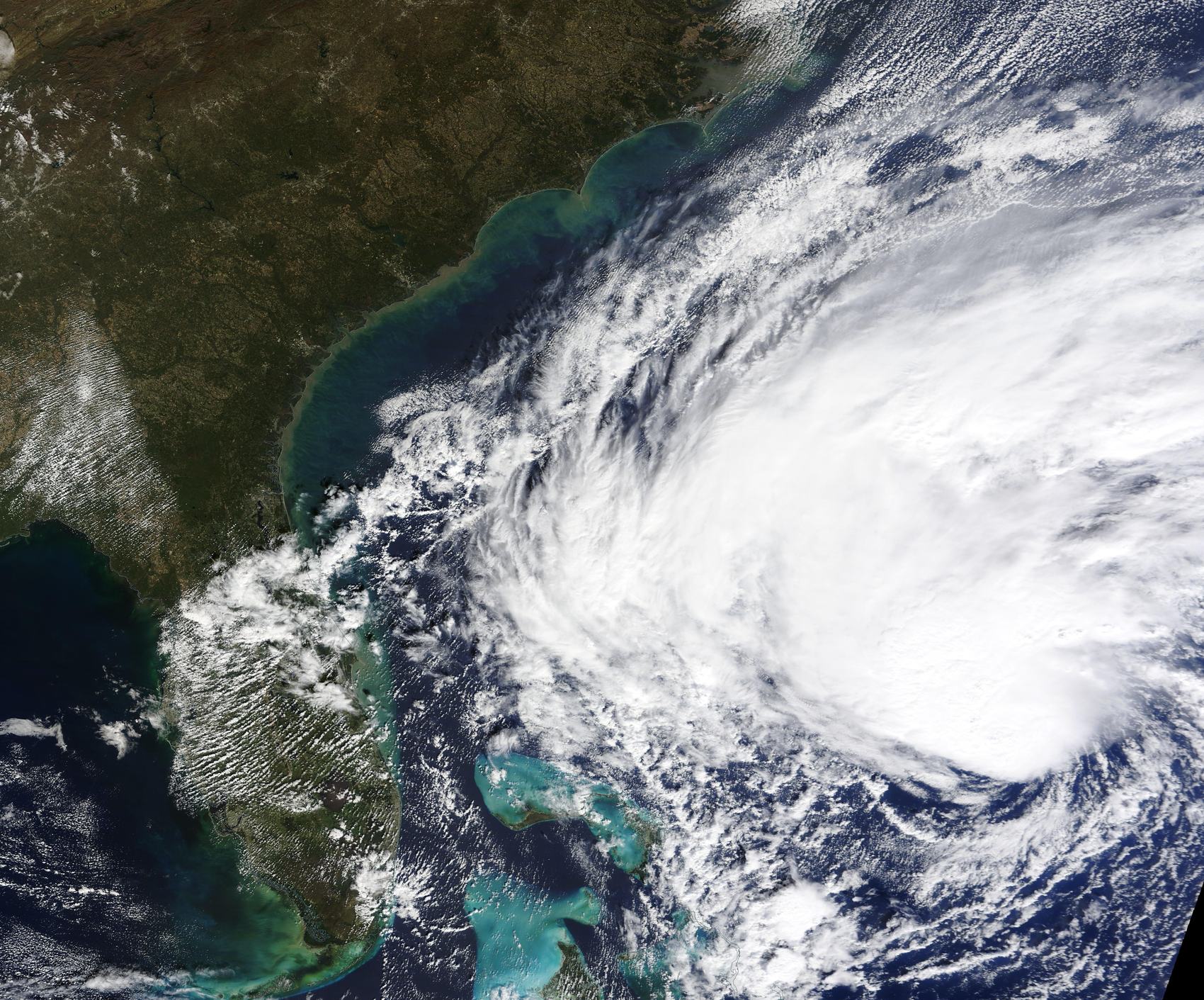
Everything in one place
Hurricane guides
Plain-English guides to reading the forecast, judging your risk, and getting ready — no jargon, no fear-mongering.
Get ready
Do this before a storm is ever named
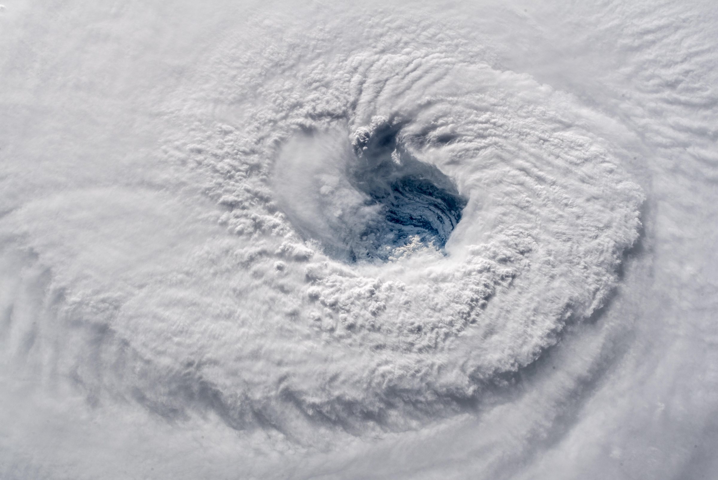
Track Atlantic Hurricanes
The live map, NHC's advisories, the cone, and the alerts that matter — one plain-English walkthrough.
Read more →
Hurricane prep checklist
The kit to build, how to protect your home, and when to evacuate.
Get prepared →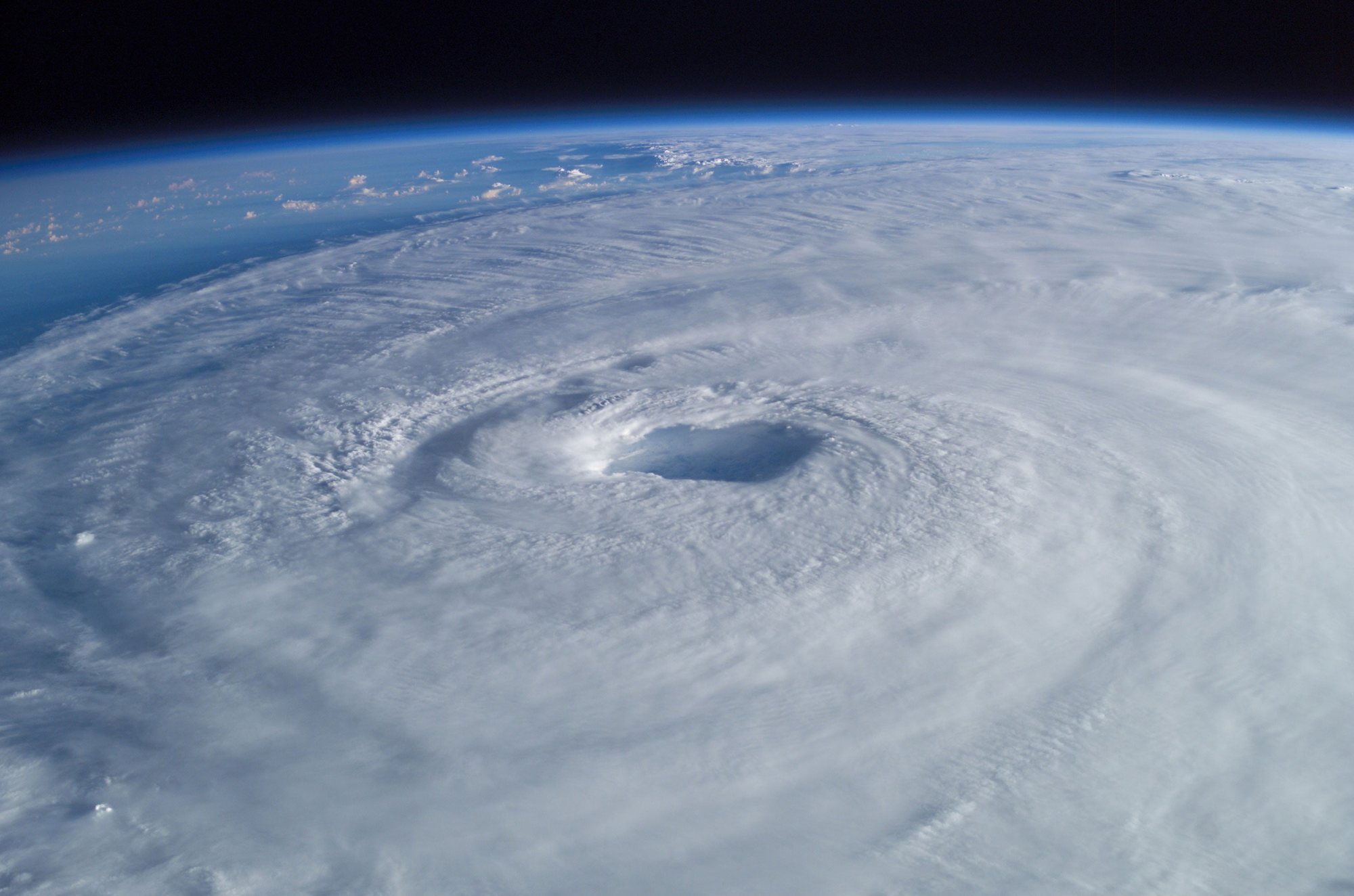
Will it hit me?
What the cone really means, watch vs. warning, and why water beats wind.
Judge your risk →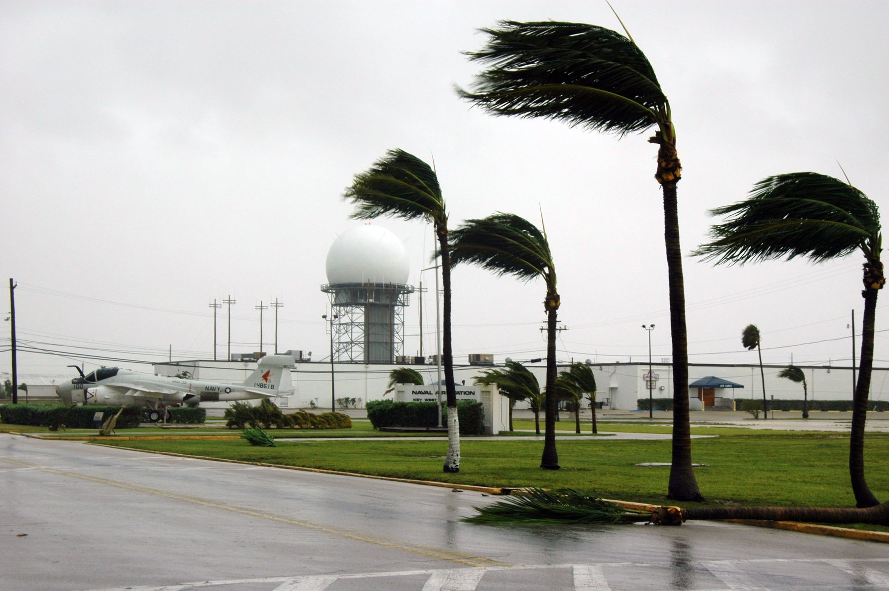
Does travel insurance cover hurricane cancellation?
Compare covered reasons, CFAR and supplier waivers by policy type—without assuming a storm name settles coverage.
Check your coverage →Understand the storm
The concepts behind every forecast
Hurricane categories explained
What Cat 1–5 actually means — and why the number alone doesn't tell you how dangerous a storm is.
Read more →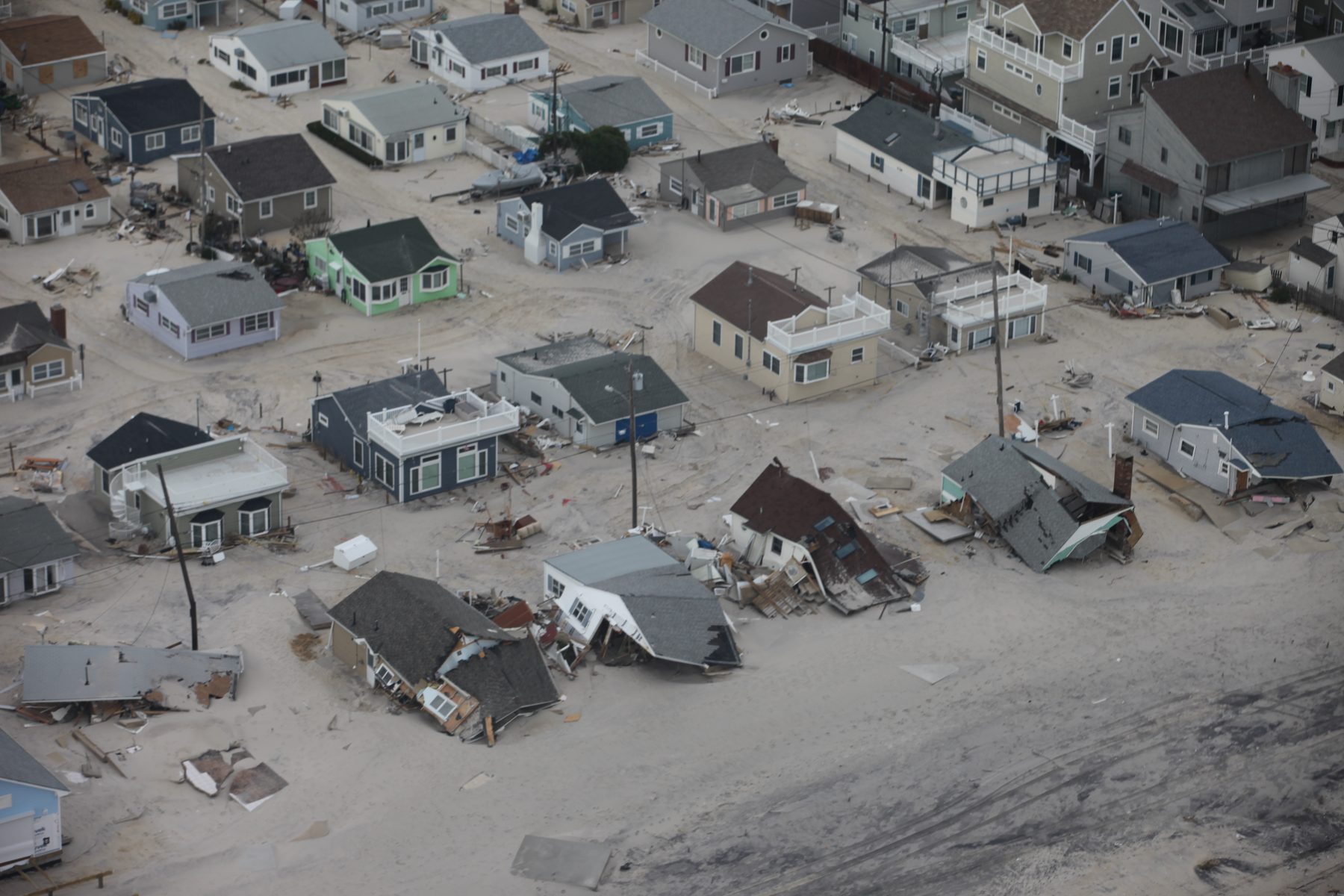
Storm surge vs. flooding
Two different water hazards, two different risk zones — here's how to check both.
Read more →
What is the cone of uncertainty?
What the cone shows, what it doesn't, and why it narrows over time.
Read more →
Generator safety
How to avoid carbon monoxide and other risks when the power's out.
Read more →
When does hurricane season end?
The 2026 Atlantic and Pacific dates, what a November storm means, and five examples from NOAA best-track data.
See the 2026 dates →
Are there hurricanes right now?
The two official checks that always know — the active-storm list and the tropical weather outlook — plus why the answer changes fast in peak season.
Alert terminology hub
Watch, warning or advisory? Compare each hazard
Hurricane watch vs. warning
What the 48- and 36-hour lead times are measured from — and why neither is an evacuation countdown.
Read more →
Hurricane trackers compared
What the 48- and 36-hour lead times are measured from — and why neither is an evacuation countdown.
Read more →
Flood watch vs warning vs advisory
Be aware, prepare or act: what each NWS flood alert means, including flash flood warnings.
Compare flood alerts →
Tornado watch vs warning
What each NWS alert means, who issues it, and when to take shelter immediately.
Compare tornado alerts →See what's active right now
The live HurriTrack map uses NOAA / National Hurricane Center data, checked every few minutes, to show every active Atlantic storm.
HurriTrack is an independent guide for general awareness and is not an official source. For any safety decision, follow NHC and your local emergency management.
A field guide to hurricanes