
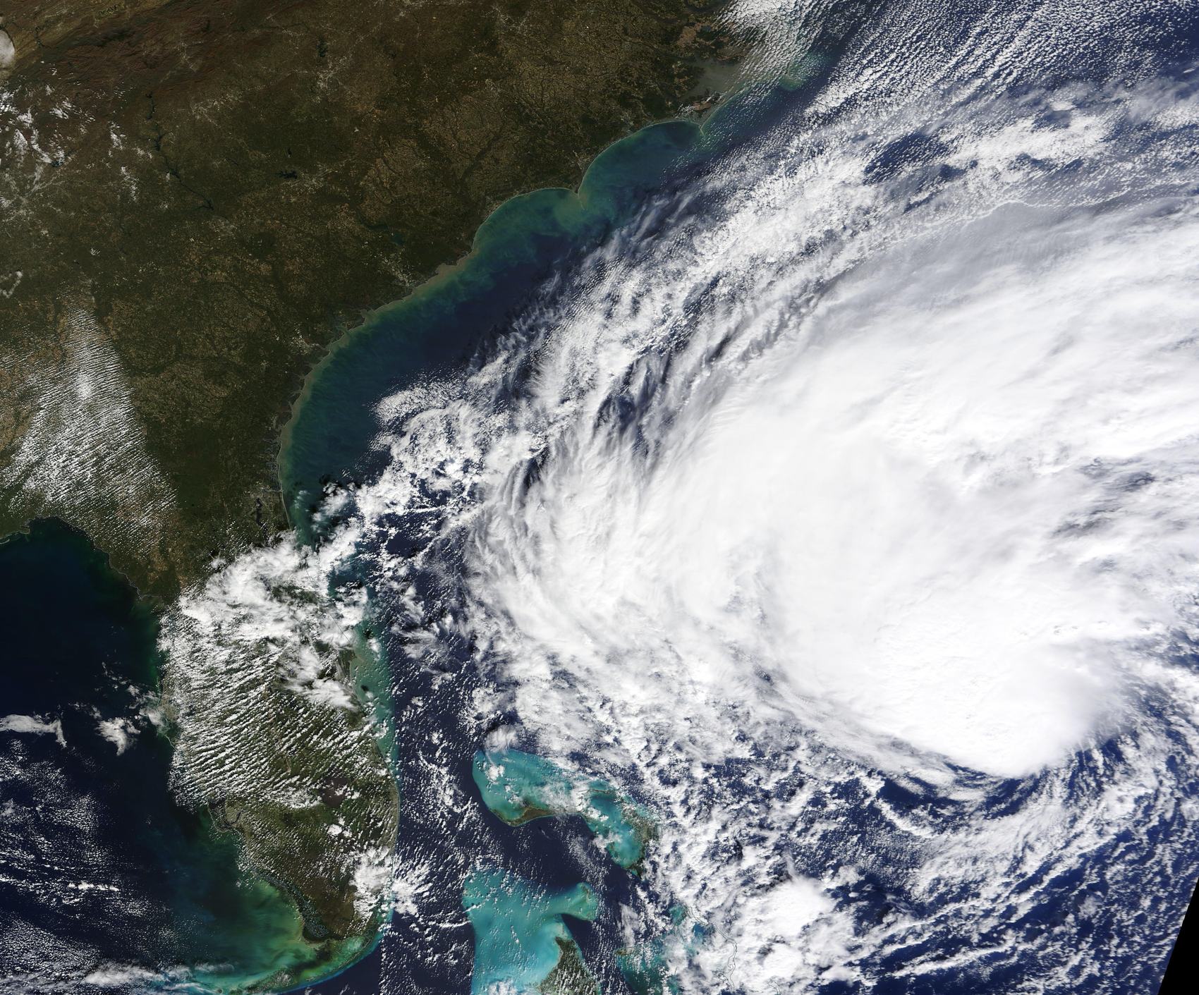
Atlantic tracking
Track Atlantic Hurricanes
The live map on our homepage, the National Hurricane Center's advisories, and two habits that make tracking simple: know what each product actually says, and know which alerts apply to you.
Start here
The live map, and what it does
Our homepage tracks every active Atlantic tropical cyclone on one dark basin map: position, maximum sustained winds, pressure, movement, and classification — tropical depression, tropical storm, or hurricane by Saffir-Simpson category. If a storm is out there, it is on that map.
The map updates automatically every few minutes from NHC's public CurrentStorms.json data, so it follows NHC's advisory schedule rather than continuously redrawing itself. For life-safety decisions, the map is a companion to official advisories — never a substitute.
The official products
Read NHC like a forecaster
Use these products together: the advisory explains the storm and its hazards, the outlook covers potential development, and the cone shows uncertainty in the center's forecast track.
| Product | What it tells you | Cadence |
|---|---|---|
| Public Advisory | Where the storm is, its winds and pressure, and what hazards are expected — the primary text product | Every 6 hours at 03:00, 09:00, 15:00 and 21:00 UTC; roughly every 2–3 hours when coastal watches or warnings are in effect |
| Tropical Weather Outlook | Disturbed weather and the chance it becomes a tropical cyclone, with 2-day and 7-day formation probabilities | Four times daily during the season |
| Forecast Cone | The probable track of the storm center, based on historical forecast error — not the storm's size and not the extent of its hazards | With each full advisory |
| CurrentStorms.json | NHC's machine-readable summary of active storms — the same public data our map reads | With each advisory |
One habit prevents most misreadings: the cone describes where the storm's center is likely to go — it says nothing about how wide the storm is, and impacts like rain, surge and wind almost always extend far beyond the cone.
Read our full cone-of-uncertainty guide →
National Hurricane Center (nhc.noaa.gov) · NHC product descriptions (PDF) · GOES-East satellite imagery (NOAA/NESDIS)
Season math
November storms are rare, not impossible
The Atlantic season runs June 1 to November 30. By November, the pattern that spawns Cape Verde hurricanes has long shut down — but the basin is not closed for business.
Recent memory: Nicole struck Florida as a hurricane in November 2022, and Eta and Iota both reached major-hurricane strength in November 2020. Hurricane Lenny — the "wrong-way" storm that tracked west-to-east through the Caribbean — was a Category 4 in mid-November 1999.
So while the odds favor quiet, the season's official close is November 30, not Election Day. Keep the map bookmarked until then.
While you track
The two alerts that matter
A Hurricane Watch means hurricane conditions are possible — generally issued 48 hours before anticipated tropical-storm-force winds. A Hurricane Warning means hurricane conditions are expected — generally 36 hours before anticipated tropical-storm-force winds. Both anchors reference tropical-storm-force winds, not hurricane-force winds or landfall.
When a storm you are tracking earns a watch or warning for your coast, tracking ends and preparation begins.
FAQ
Common questions
How do I track an Atlantic hurricane right now?
Open the live map on our homepage for every active storm — position, winds, classification and movement — then check NHC's latest Public Advisory for the hazards. The map follows NHC's advisory schedule, updating automatically every few minutes.
How often does NHC update?
Routine advisories arrive every six hours at 03:00, 09:00, 15:00 and 21:00 UTC, with intermediate advisories roughly every 2–3 hours when watches or warnings are in effect. The Tropical Weather Outlook comes out four times daily.
Can hurricanes still form in November?
Yes. The season runs through November 30, and November has produced Nicole (2022), Eta and Iota (2020), and Lenny (1999). Uncommon is not impossible.
Sources
Every safety-critical and quantitative claim on this page is drawn from these primary sources. Guidance can change — follow your local emergency management for decisions where you are.
- National Hurricane Center — NOAA / National Hurricane Center. https://www.nhc.noaa.gov/
- NHC Product Descriptions — NOAA / National Hurricane Center. https://www.nhc.noaa.gov/pdf/NHC_Product_Description.pdf
- GOES-East Satellite Imagery — NOAA / NESDIS. https://www.star.nesdis.noaa.gov/goes/
- Hurricane and Tropical Storm Watches, Warnings, Advisories and Outlooks — NOAA / National Weather Service. https://www.weather.gov/safety/hurricane-ww
- Hurricane Safety: During a Hurricane Threat — NOAA / National Weather Service. https://www.weather.gov/safety/hurricane-action
HurriTrack is an independent guide for general awareness and is not an official source. For any safety decision, follow NHC, the National Weather Service and your local emergency management.